Condition: Excellent
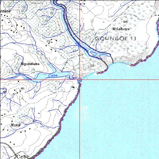
The Cebe Nature Reserve camp site is situated near the estuary mouth
32o31'22.1"S 28o34'56.2"E
(-32.5228, 28.582269)
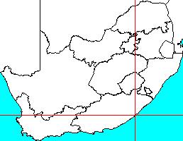
Map 3228DA
3851m wide x 4567m high
Cape Datum.
Surveys and Mapping.
Data from file
/iwqs3/tmp/riv/wes_akw-geo
| Cebe Temporarily open/closed estuary. | ||
|---|---|---|
|
|
|
|
|
Information: Poor Condition: Excellent The Cebe Nature Reserve camp site is situated near the estuary mouth |
||
|
Locality: 32o31'22.1"S 28o34'56.2"E (-32.5228, 28.582269) Map 3228DA 3851m wide x 4567m high Cape Datum. |
||
|
Surveys and Mapping. Data from file /iwqs3/tmp/riv/wes_akw-geo |
||
| <--Previous | Home^ | Next--> | |
| SA Inst. for Aquatic Biodiversity | stmaphtml.aml 2003-09-04 - 15:13:23 | |