Condition: Poor
An example of how to destroy a natural asset
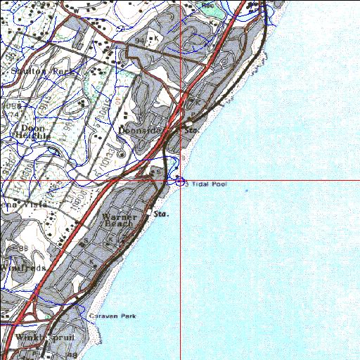
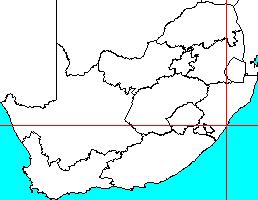
30o04'38.8"S 30o52'21.9"E
(-30.077458, 30.872756)
Map 3030BB
3952m wide x 4567m high
Cape Datum.
Surveys and Mapping.
Data from file
/iwqs3/tmp/riv/wes_akw-geo
| Little Manzimtoti Temporarily open/closed estuary. | ||
|---|---|---|
|
|
|
|
|
Information: Poor Condition: Poor An example of how to destroy a natural asset |
||
|
Locality: 30o04'38.8"S 30o52'21.9"E (-30.077458, 30.872756) Map 3030BB 3952m wide x 4567m high Cape Datum. |
||
|
Surveys and Mapping. Data from file /iwqs3/tmp/riv/wes_akw-geo |
||
| <--Previous | Home^ | Next--> | |
| SA Inst. for Aquatic Biodiversity | stmaphtml.aml 2003-09-04 - 16:35:01 | |