Condition: Good
Siltation from the catchment is of concern
29o06'36.1"S 31o37'09.1"E
(-29.110017, 31.619193)
Map 2931BA
3990m wide x 4567m high
Cape Datum.
Surveys and Mapping.
Data from file
/iwqs3/tmp/riv/wes_akw-geo
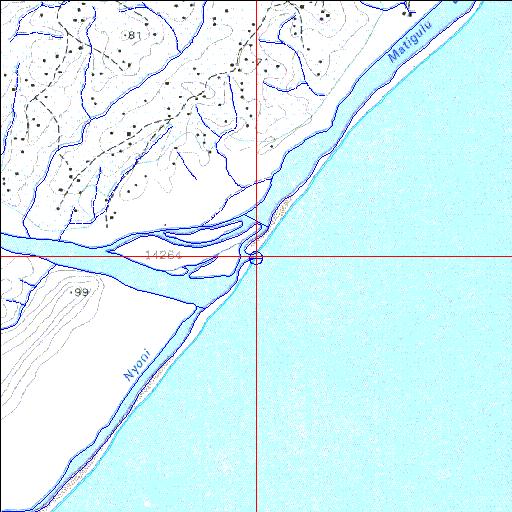
| Matigulu/Nyoni Permanently open estuary. | ||
|---|---|---|
|
|
|
|
|
Information: Poor Condition: Good Siltation from the catchment is of concern |
||
|
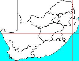
Locality: 29o06'36.1"S 31o37'09.1"E (-29.110017, 31.619193) Map 2931BA 3990m wide x 4567m high Cape Datum. |
||
|
Surveys and Mapping. Data from file /iwqs3/tmp/riv/wes_akw-geo |
||
| <--Previous | Home^ | Next--> | |
| SA Inst. for Aquatic Biodiversity | stmaphtml.aml 2003-09-04 - 16:49:17 | |