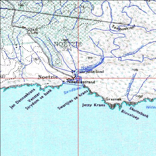
Condition: Excellent
Situated within a State forestry area
34o04'43"S 23o07'46.8"E
(-34.078623, 23.129662)
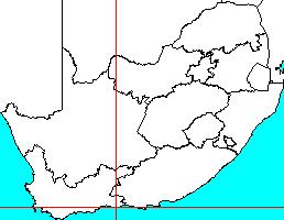
Map 3423AA
3783m wide x 4567m high
Cape Datum.
Surveys and Mapping.
Data from file
/iwqs3/tmp/riv/wes_akw-geo
| Noetsie Temporarily open/closed estuary. | ||
|---|---|---|
|
|
|
|
|
Information: Poor Condition: Excellent Situated within a State forestry area |
||
|
Locality: 34o04'43"S 23o07'46.8"E (-34.078623, 23.129662) Map 3423AA 3783m wide x 4567m high Cape Datum. |
||
|
Surveys and Mapping. Data from file /iwqs3/tmp/riv/wes_akw-geo |
||
| <--Previous | Home^ | Next--> | |
| SA Inst. for Aquatic Biodiversity | stmaphtml.aml 2003-09-04 - 14:01:24 | |