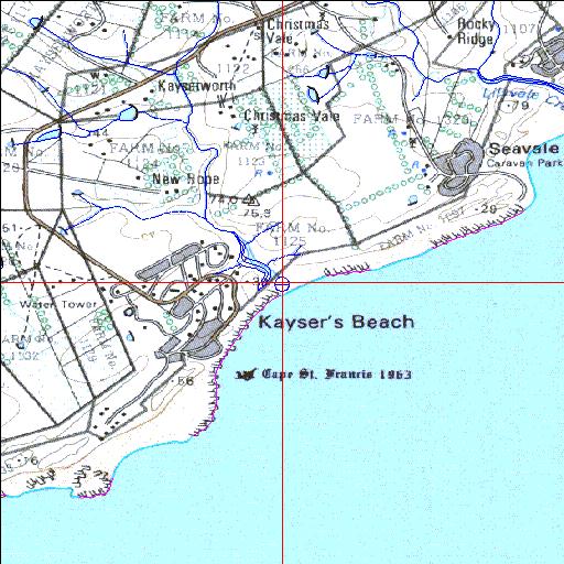
Shelbertsstroom Temporarily open/closed estuary.
Shelbertsstroom Temporarily open/closed estuary. Shelbertsstroom position
Information: Poor
Condition: Fair

Floodplain disturbed following construction of car park and ablution facility
Locality:
33o12'22.7"S 27o36'58.6"E
(-33.206304, 27.61627)
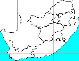
Map 3327BA
3821m wide x 4567m high
Cape Datum.
South Africa DLA, DWAF 1:50 000 maps from
Surveys and Mapping.
Data from file
/iwqs3/tmp/riv/wes_akw-geo
<--Previous | Home^ Next-->
SA Inst. for Aquatic Biodiversity stmaphtml.aml 2003-09-04 - 14:45:58