Condition: Poor
Water quality needs to be improved to facilitate recreational use
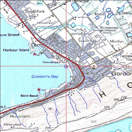
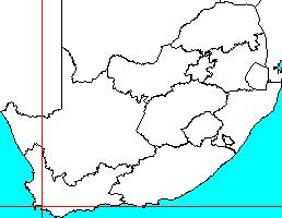
34o09'20.7"S 18o52'00.8"E
(-34.155758, 18.866886)
Map 3418BB
3779m wide x 4567m high
Cape Datum.
Surveys and Mapping.
Data from file
/iwqs3/tmp/riv/wes_akw-geo
| Sir Lowry's Pass Temporarily open/closed estuary. | ||
|---|---|---|
|
|
|
|
|
Information: Moderate Condition: Poor Water quality needs to be improved to facilitate recreational use |
||
|
Locality: 34o09'20.7"S 18o52'00.8"E (-34.155758, 18.866886) Map 3418BB 3779m wide x 4567m high Cape Datum. |
||
|
Surveys and Mapping. Data from file /iwqs3/tmp/riv/wes_akw-geo |
||
| <--Previous | Home^ | Next--> | |
| SA Inst. for Aquatic Biodiversity | stmaphtml.aml 2003-09-04 - 13:36:11 | |