Condition: Poor
Completely transformed due to harbour and urban developments
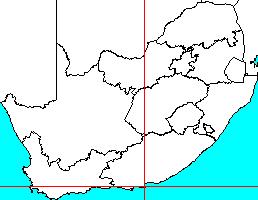
33o57'50.9"S 25o37'46.1"E
(-33.964151, 25.629477)
Map 3325DC
3788m wide x 4567m high
Cape Datum.
Surveys and Mapping.
Data from file
/iwqs3/tmp/riv/wes_akw-geo
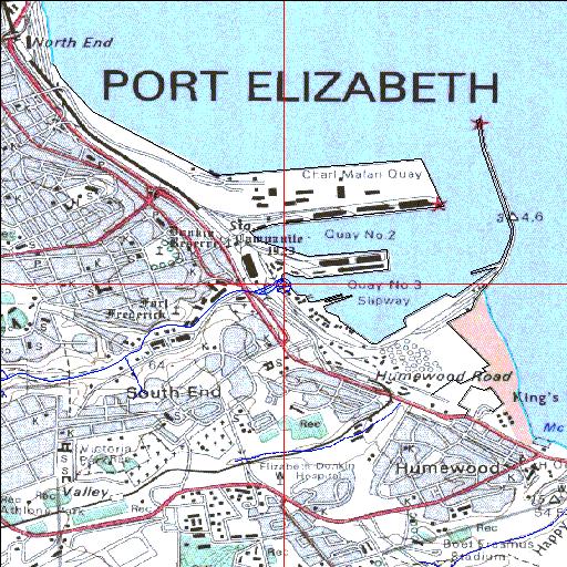
| Bakens (Baakens) Canalized estuary. | ||
|---|---|---|
|
|
|
|
|
Information: Poor Condition: Poor Completely transformed due to harbour and urban developments |
||
|
Locality: 33o57'50.9"S 25o37'46.1"E (-33.964151, 25.629477) Map 3325DC 3788m wide x 4567m high Cape Datum. |
||
|
Surveys and Mapping. Data from file /iwqs3/tmp/riv/wes_akw-geo |
||
| <--Previous | Home^ | Next--> | |
| SA Inst. for Aquatic Biodiversity | stmaphtml.aml 2003-09-04 - 14:24:53 | |