Condition: Good
An important conservation and recreational area
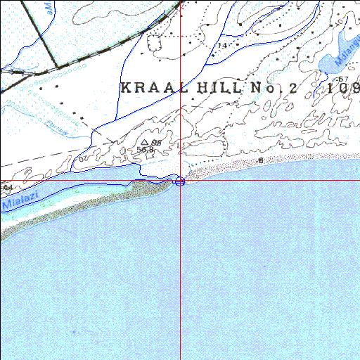
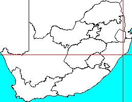
28o56'42.3"S 31o48'58.7"E
(-28.945084, 31.816315)
Map 2831DD
3997m wide x 4567m high
Cape Datum.
Surveys and Mapping.
Data from file
/iwqs3/tmp/riv/wes_akw-geo
| Mlalazi Permanently open estuary. | ||
|---|---|---|
|
|
|
|
|
Information: Moderate Condition: Good An important conservation and recreational area |
||
|
Locality: 28o56'42.3"S 31o48'58.7"E (-28.945084, 31.816315) Map 2831DD 3997m wide x 4567m high Cape Datum. |
||
|
Surveys and Mapping. Data from file /iwqs3/tmp/riv/wes_akw-geo |
||
| <--Previous | Home^ | Next--> | |
| SA Inst. for Aquatic Biodiversity | stmaphtml.aml 2003-09-04 - 16:52:08 | |