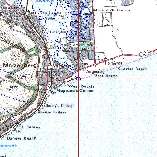
Sand Temporarily open/closed estuary.
Sand Temporarily open/closed estuary. Sand position
Information: Good
Condition: Poor

High intensity residential development and industrial activity in catchment
Locality:
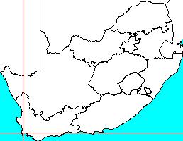
34o06'21.4"S 18o28'36.9"E
(-34.105939, 18.476915)
Map 3418AB
3782m wide x 4567m high
Cape Datum.
South Africa DLA, DWAF 1:50 000 maps from
Surveys and Mapping.
Data from file
/iwqs3/tmp/riv/wes_akw-geo
<--Previous | Home^ Next-->
SA Inst. for Aquatic Biodiversity stmaphtml.aml 2003-09-04 - 13:33:55