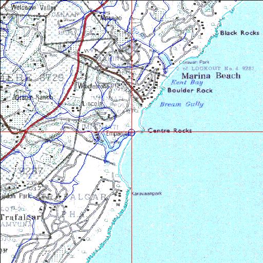
Condition: Fair
Estuary forms part of the San Lameer holiday resort
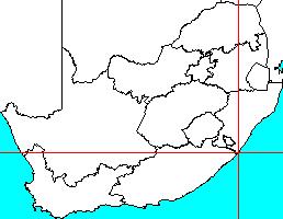
30o56'40.4"S 30o18'10.8"E
(-30.944557, 30.302992)
Map 3030CD
3917m wide x 4567m high
Cape Datum.
Surveys and Mapping.
Data from file
/iwqs3/tmp/riv/wes_akw-geo
| Umhlangankulu Temporarily open/closed estuary. | ||
|---|---|---|
|
|
|
|
|
Information: Moderate Condition: Fair Estuary forms part of the San Lameer holiday resort |
||
|
Locality: 30o56'40.4"S 30o18'10.8"E (-30.944557, 30.302992) Map 3030CD 3917m wide x 4567m high Cape Datum. |
||
|
Surveys and Mapping. Data from file /iwqs3/tmp/riv/wes_akw-geo |
||
| <--Previous | Home^ | Next--> | |
| SA Inst. for Aquatic Biodiversity | stmaphtml.aml 2003-09-04 - 16:08:24 | |